tiranosaurio.pdf
 AI Summary
Key Insights
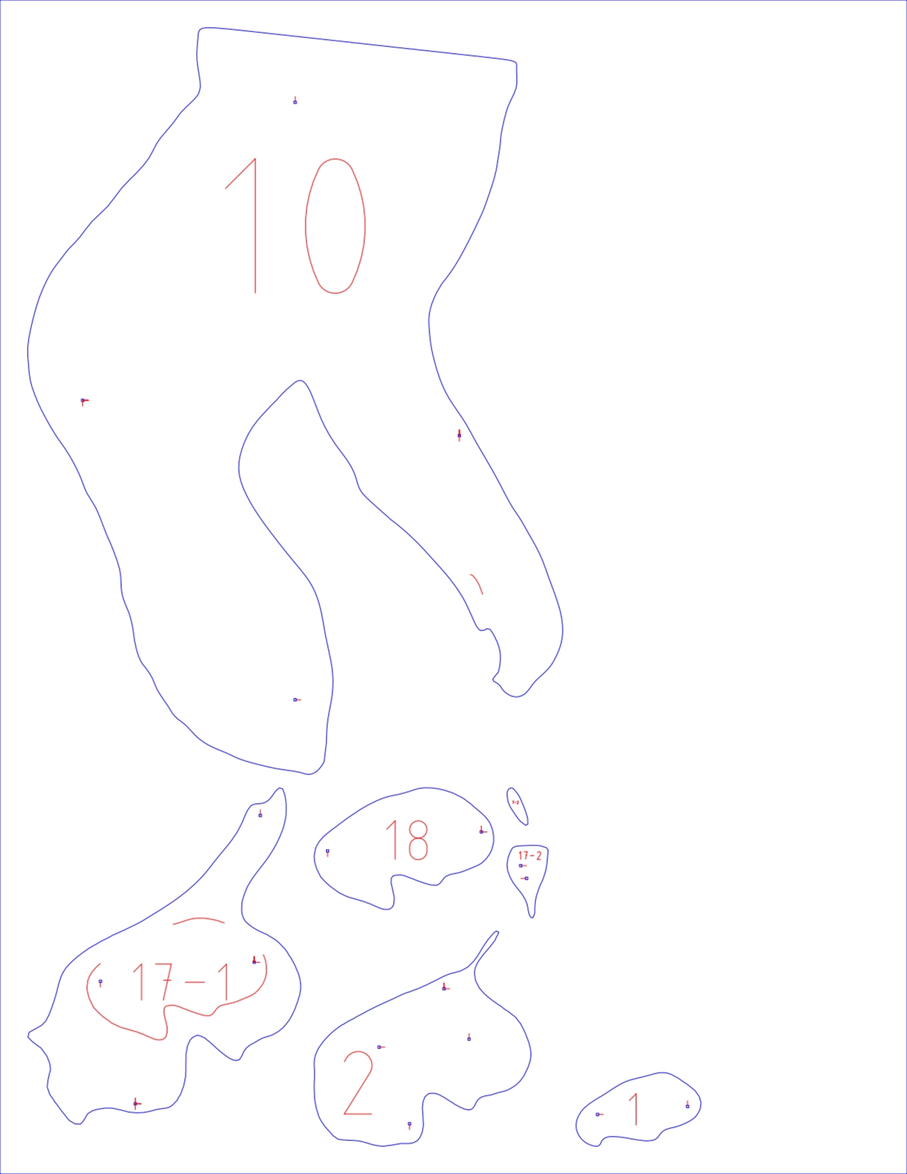
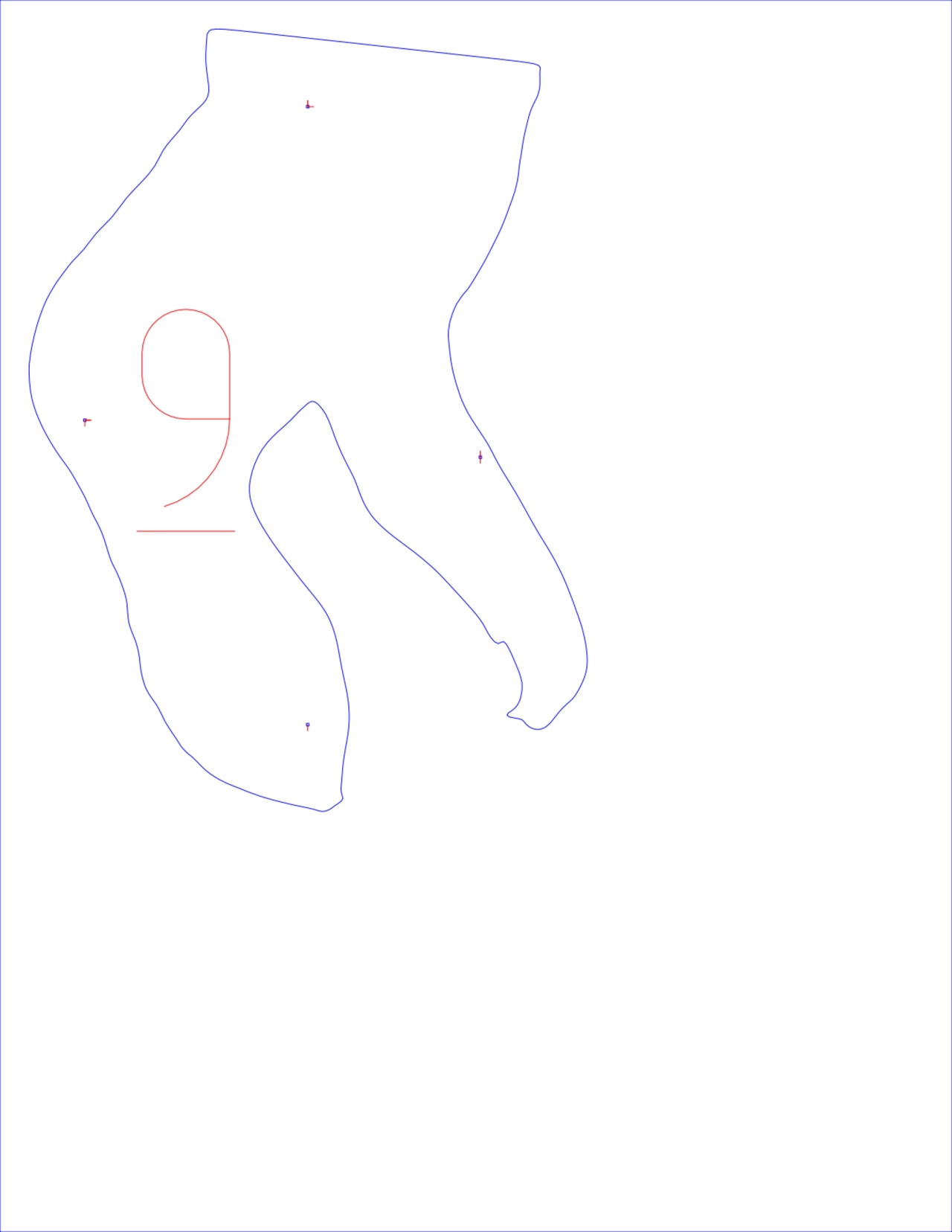
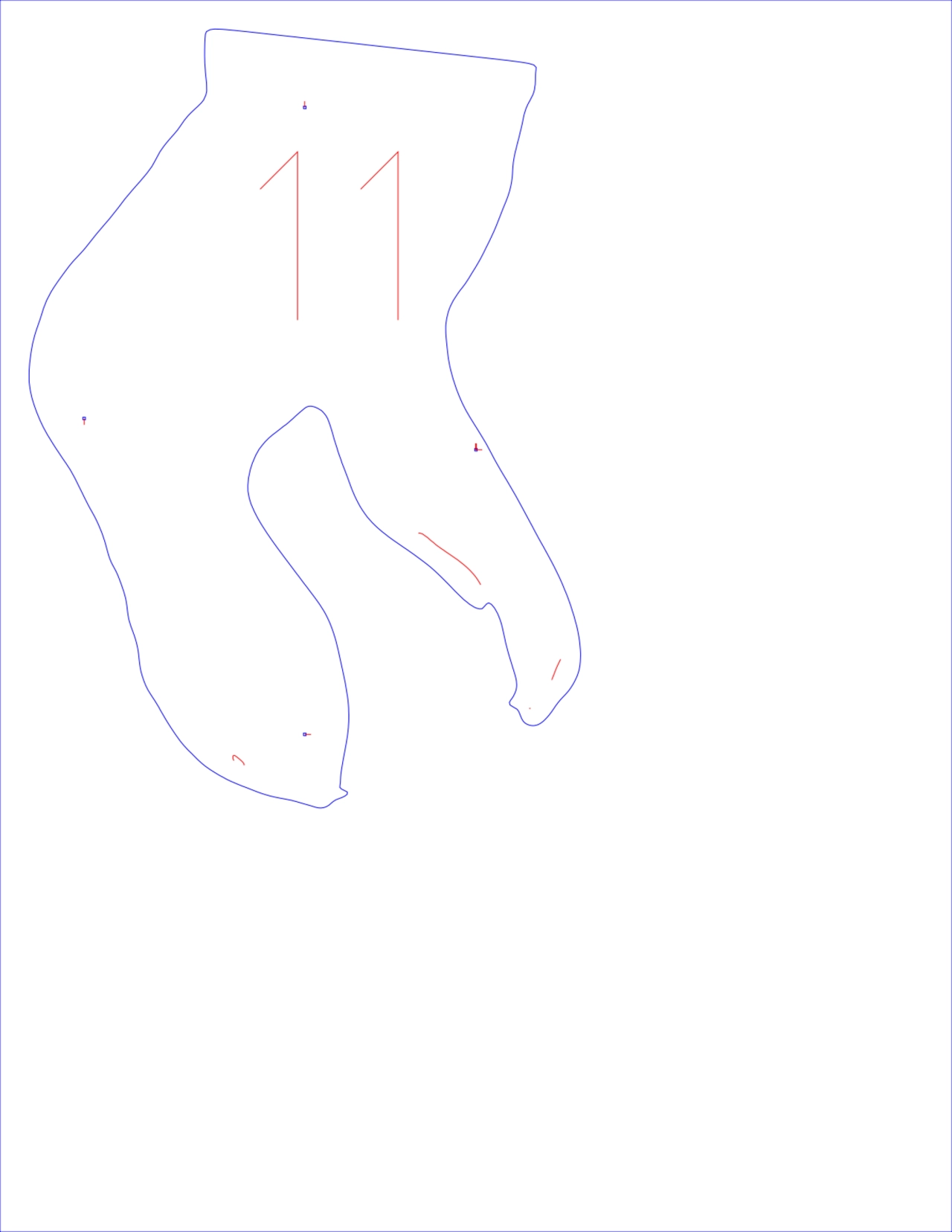
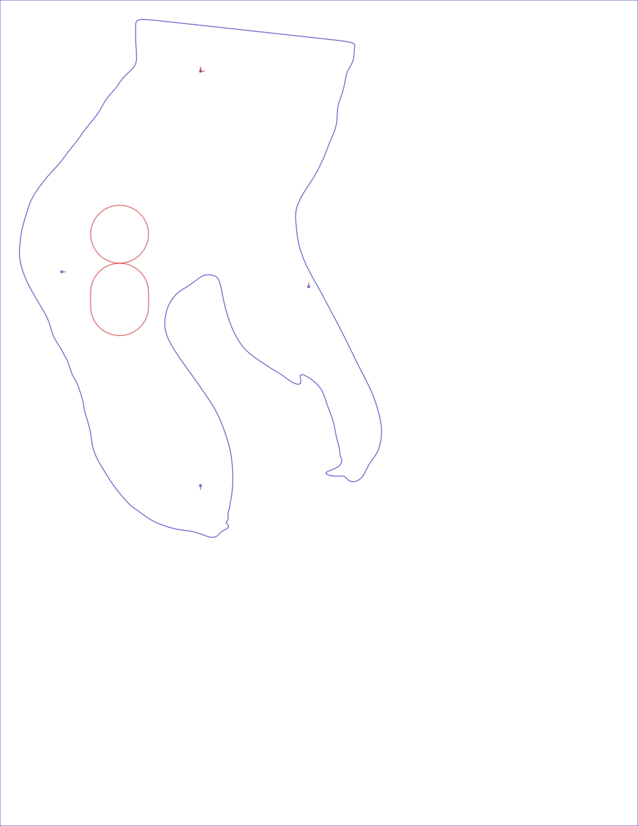
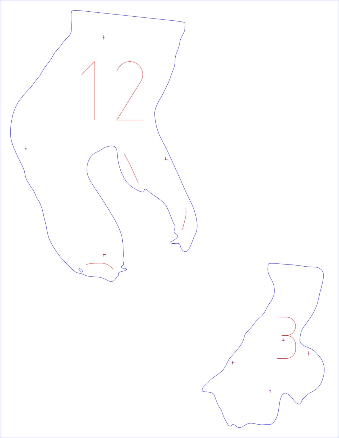
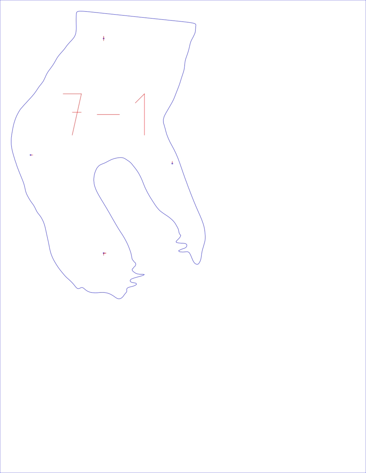
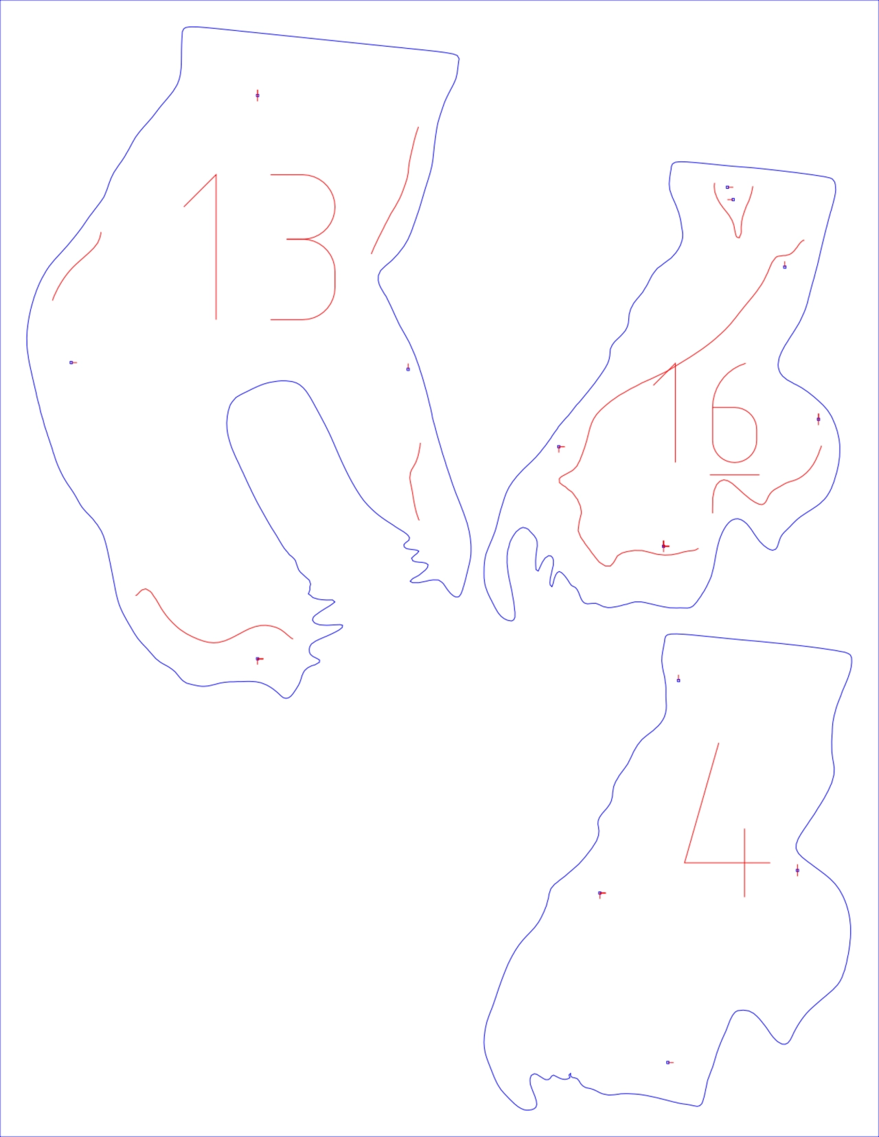
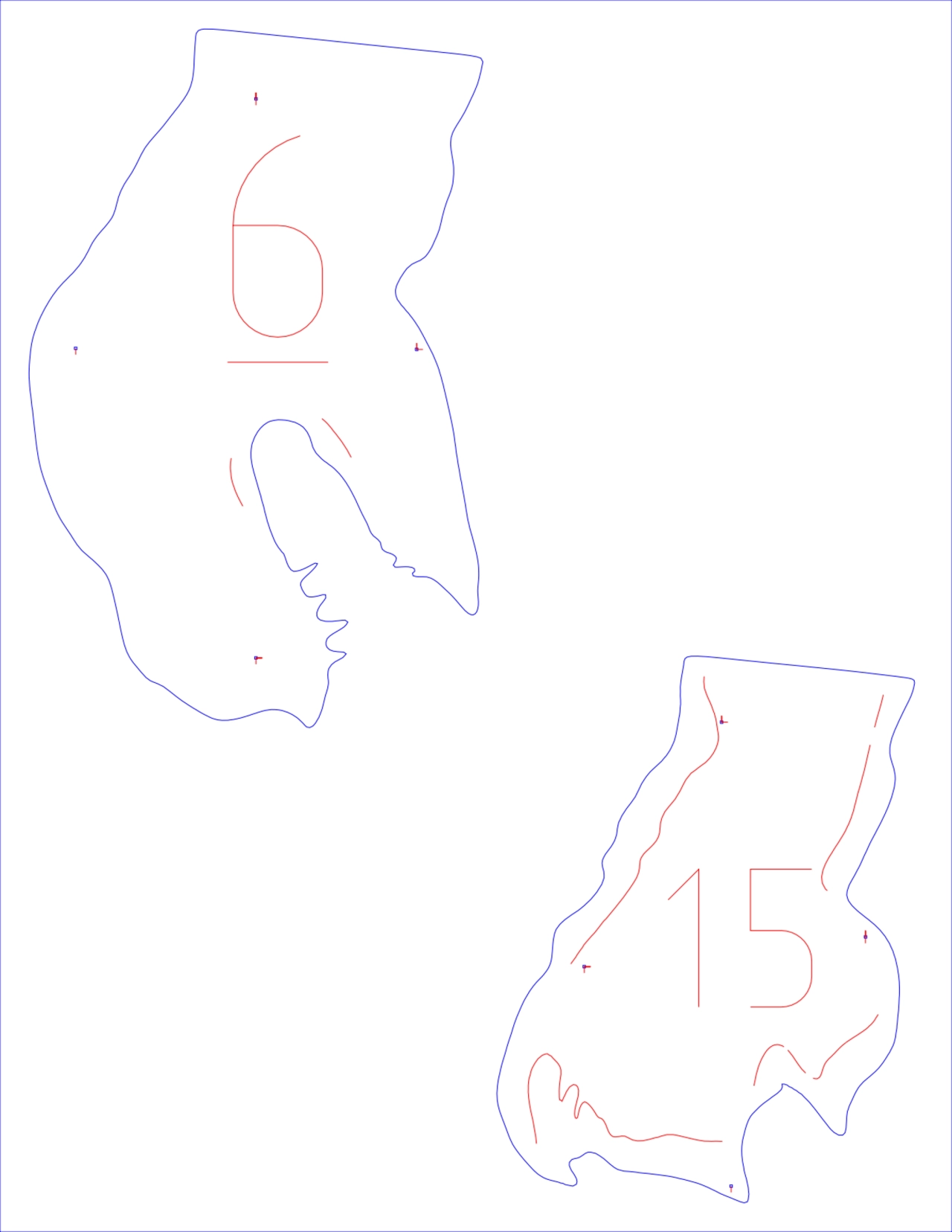
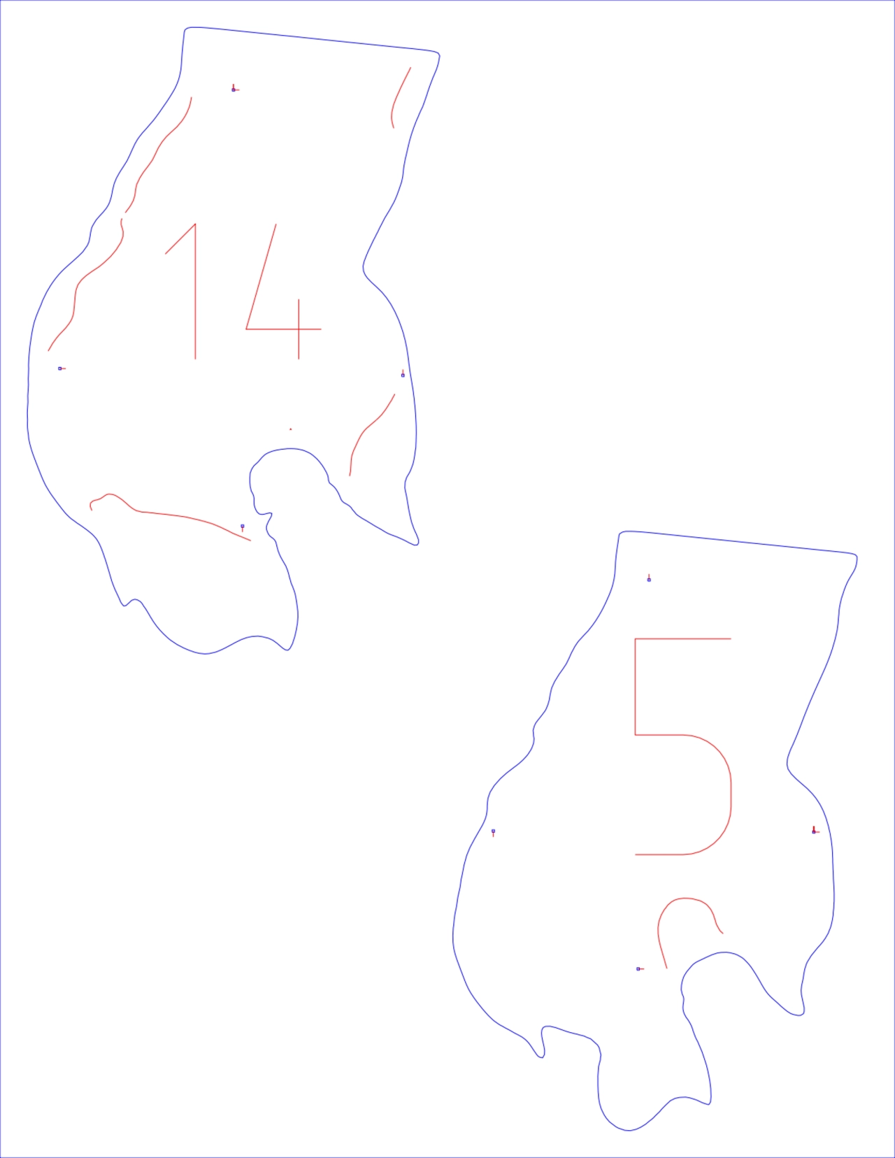
- The document displays a series of outlined shapes, primarily in blue, resembling geographic landmasses or islands.
- Each landmass is marked with distinct numerical identifiers in red, ranging from 1 to 16 (with some variations like 7-1, 7-2, and 17-1).
- The illustrations appear to show a division or partitioning of land areas, each assigned a specific numerical value.
- There are multiple instances where the number 9 appears on different outlined shapes.
- The pages show a progression of differently shaped and numbered land partitions.